ACMG Mountain Conditions Summary for the Rockies and Columbia Mountains issued May 25th, 2017
Well, it is tempting just to cut and paste last weeks summary in here! Snowy midweek followed by a hot sunny looking weekend.
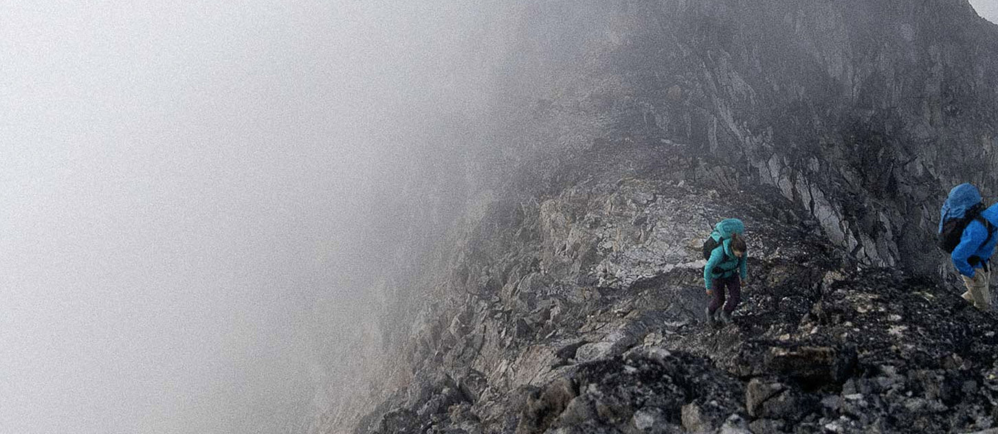
Strong cold front passed through most of the region yesterday with snow to the valley bottoms and strong winds at most elevations. Rogers Pass received 15cm of warm moist snow at treeline with recorded winds of 50-60 kms an hour and gusts up to 120! That will certainly move snow around and form windslabs in any lee features. There has been continued wet avalanche activity with any warming and given the forecast there will be some busy avalanche paths with the daytime heating this weekend. Still snow close to the road but almost nobody moving around in the terrain it sounds like.
Similar reports from Jasper and Lake Louise. Slush to road elevations all along the Banff/Jasper highway overnight, 30cm new snow at the Columbia Icefields with recorded winds of 50-60 kms an hour. Windslabs and fresh cornice growth will be the main concerns for a couple of days along with the wet slides if the warm weather forecast is correct.
The valley bottom rock climbs should dry out quickly with the sun but, again, most alpine rock routes will still be going through some painful defrosting and shedding rocks, snow and water for awhile yet.
Hopefully we will have something new to say next week!
Larry Stanier
ACMG Mountain Guide