Hi all,
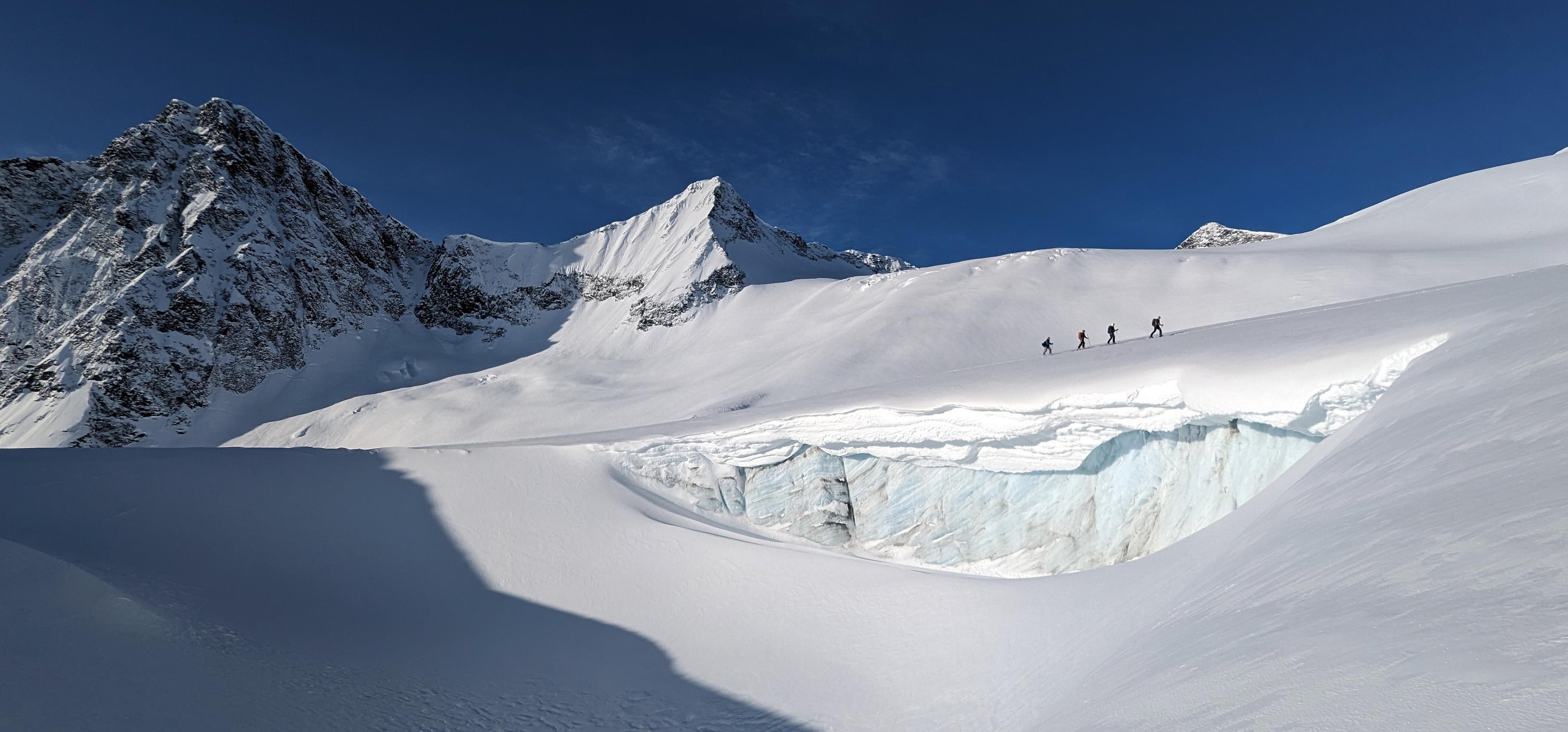
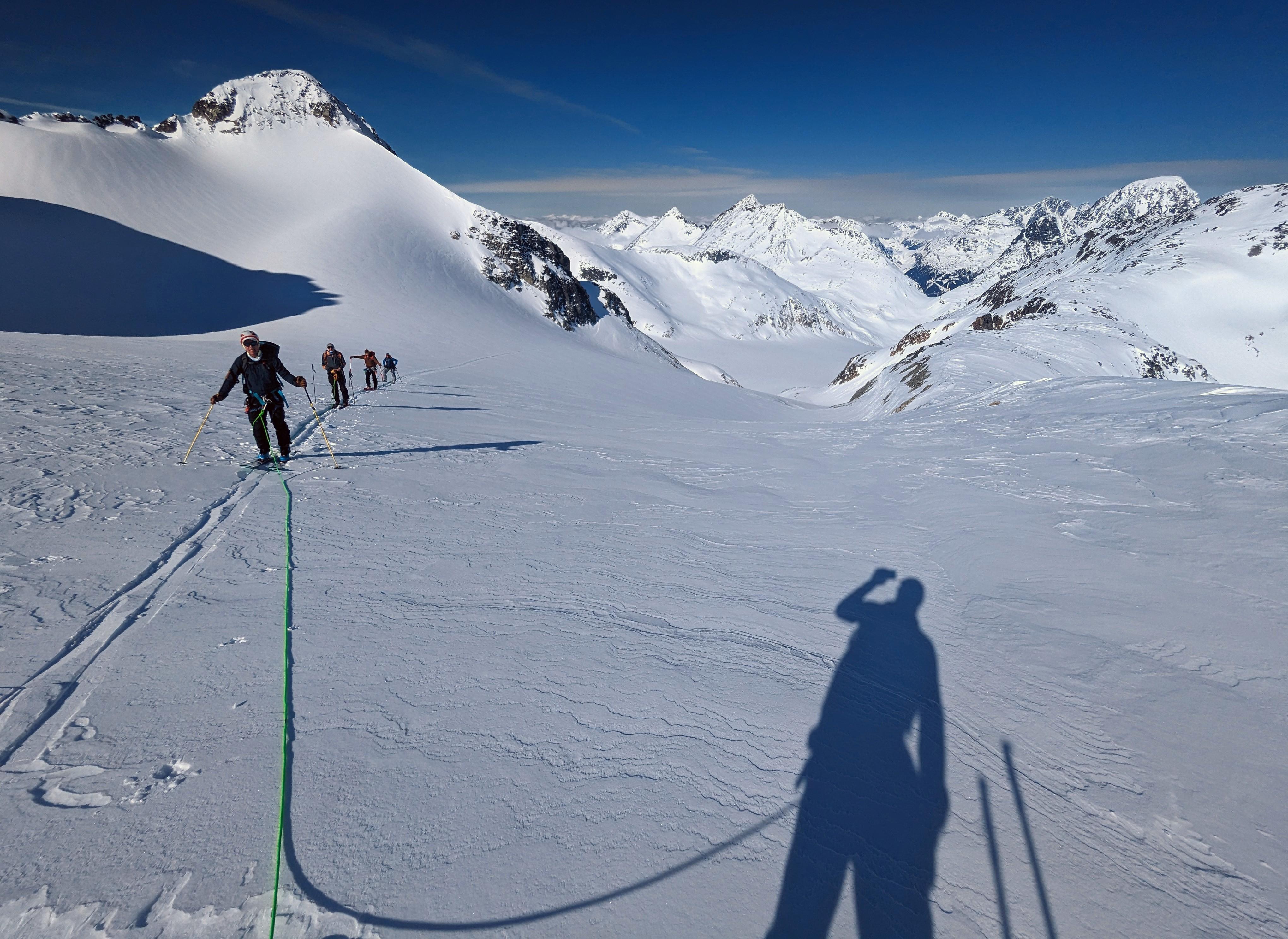
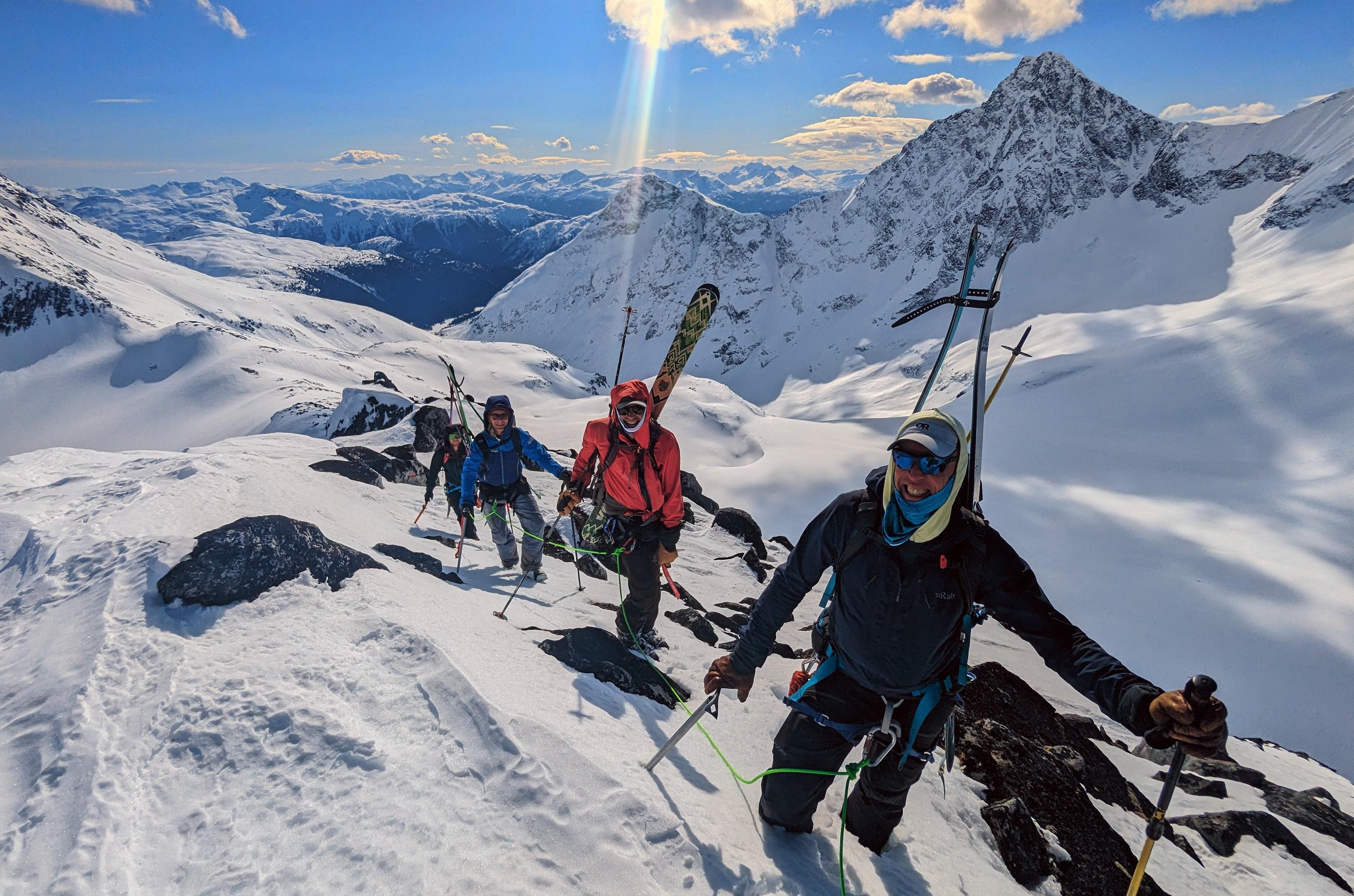
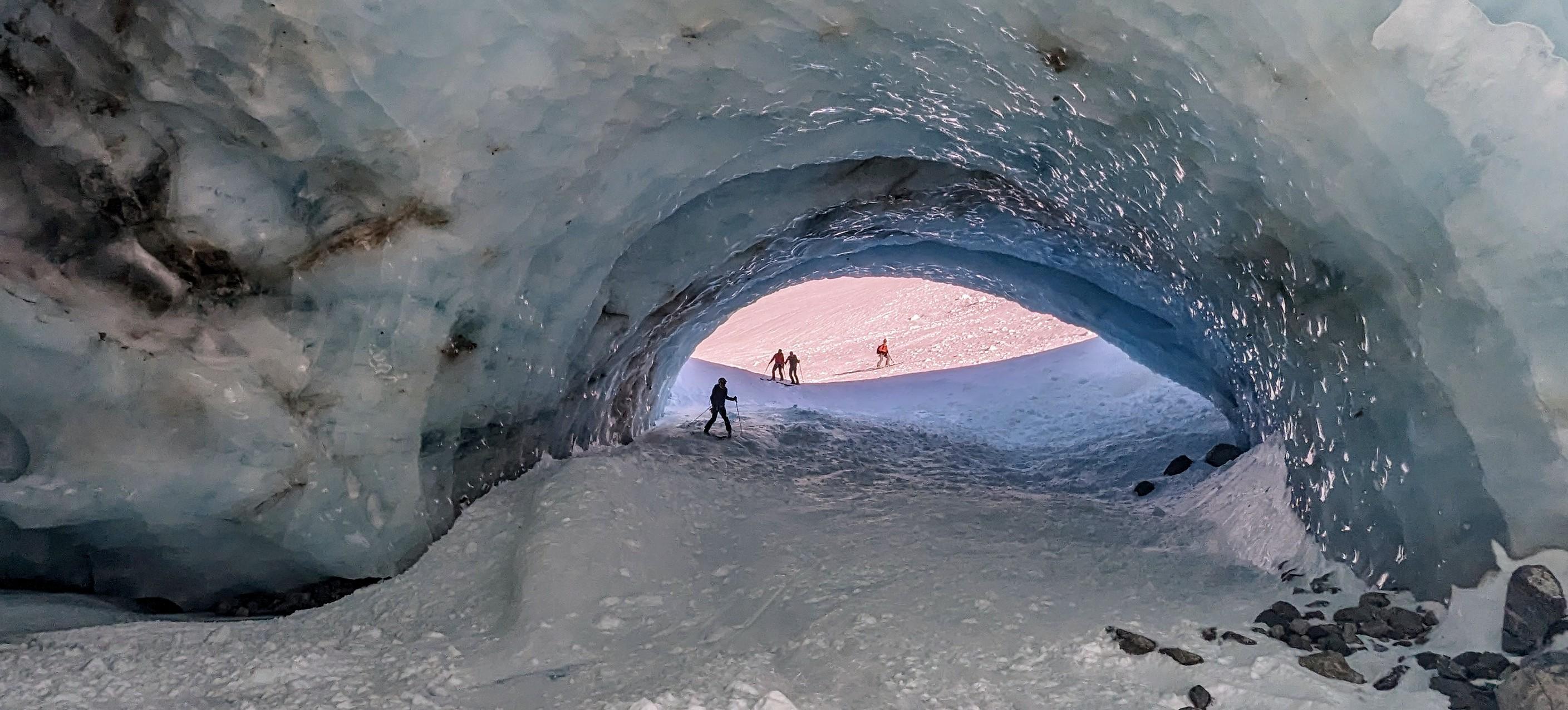
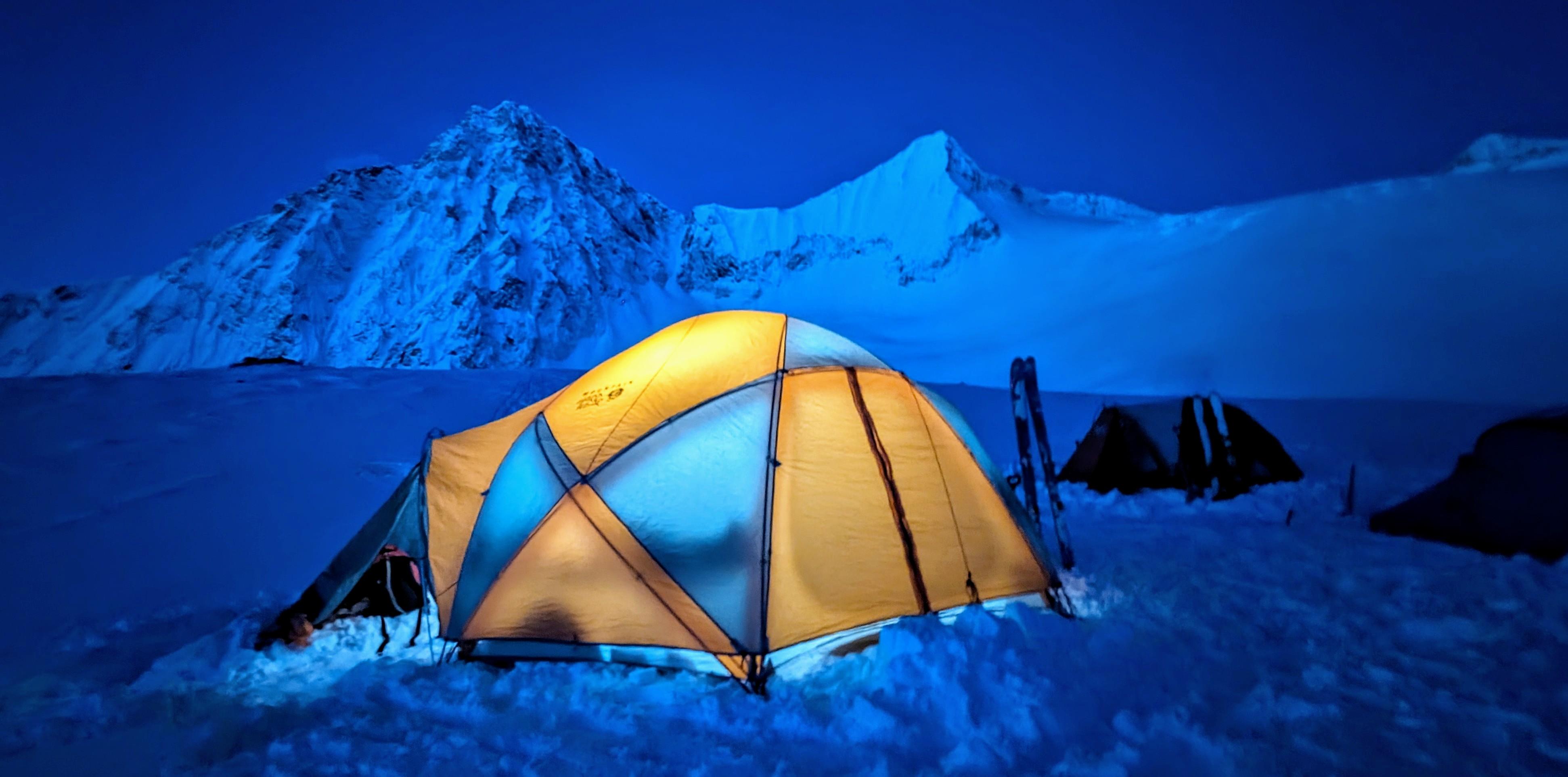
We just wrapped up a 4day ski-mountaineering basecamp in a remote corner of the Northwest Coast March 15-18, 2024. The Mount Nimbus area is 55km Southeast of Terrace BC between the headwaters of the Kitimat and Clore Rivers. We access the area with Canadian helicopter from Terrace. This year our camp was on an alpine knoll (1700m) in an east facing basin approximately 1.5km North of Dogs Ear peak. This part of the Kitimat Range provides a good base for exploring various glaciated valleys and surrounding peaks.
Like most of BC right now, we were under the influence of a strong ridge of high pressure with uber high freezing levels. Weather conditions displayed clear skies, daytime highs around +7C, and light to moderate alpine winds from the Southwest. No precipitation was observed during our trip. Despite not getting overnight freezes, we benefited from good overnight radiation freezes of alpine snow surfaces.
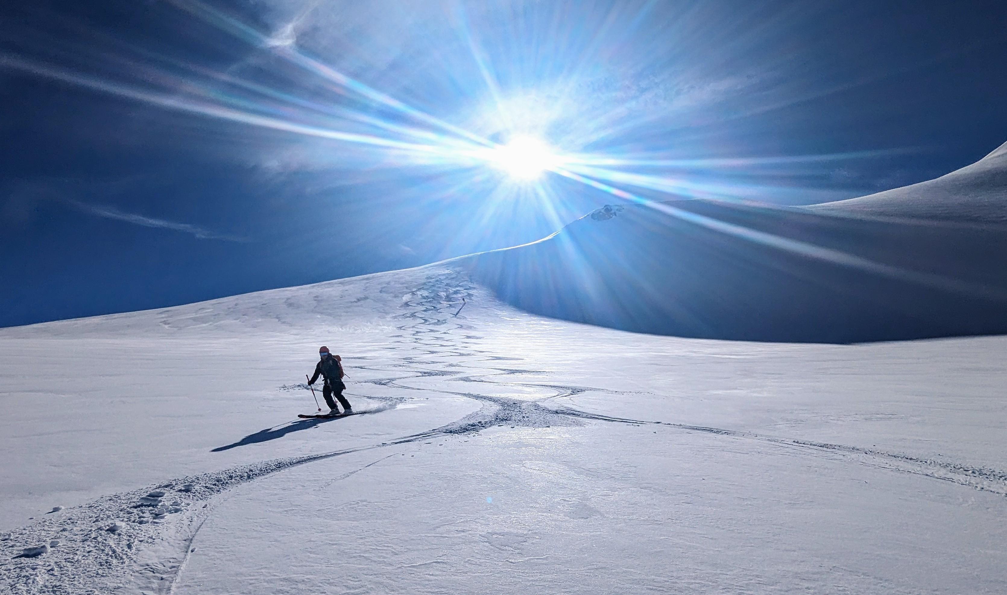
With careful route selection, conditions were ideal for peak bagging in this area, we spent a great deal of time scrambling to various summits. We timed our travel on solar aspects by steering away from any steep slopes or overhead hazard with daytime warming. That said, we skied on all aspects of the alpine between 2200m and 1400m. Ski quality was okay on high north facing terrain where some firm dry snow remained. It was challenging on all other aspects. Ski penetration was almost nonexistent which made for fast travel on skis. Wind effect (past and present) were observed on all aspects. Height of snow in the area varied from 350cm+ on glaciers to 175cm on solar aspects. Ski crampons were useful on refrozen surfaces in the AM. An ice axe was useful for some of our mixed snow/rock scrambles, but boot crampons were not necessary.
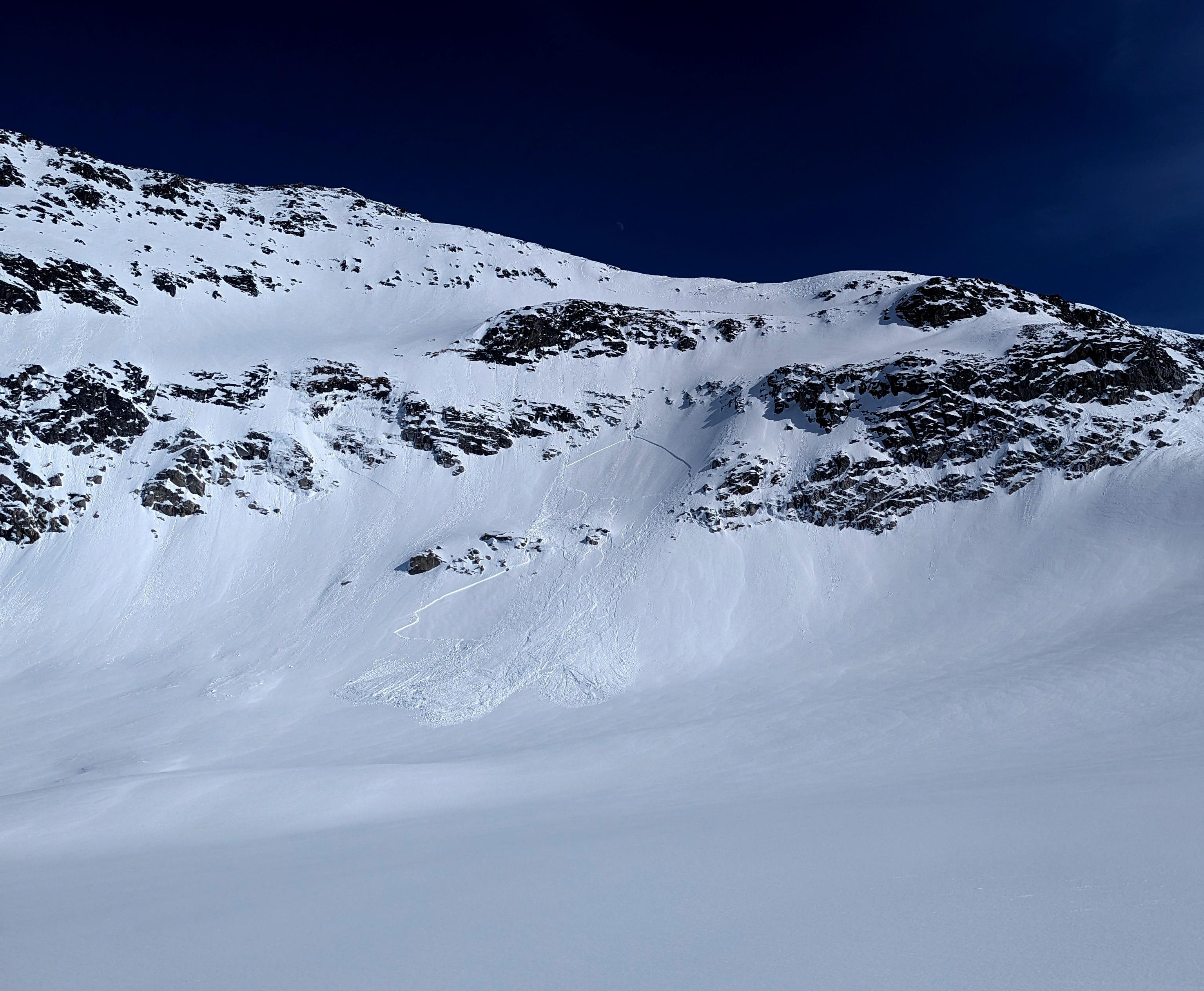
As expected, we saw some avalanche activity, but we did not experience whumpfing or cracking. We saw several persistent slab releases in the size 2 to 2.5 ranging in depth from about 70-100cm Many of these slabs were triggered by loose wet activity or solar aspects with pm solar radiation. All of them were on terrain steeper than 38 deg. Of note, we saw less activity on Northerly aspects. Snowpack test showed hard but sudden results down 70-100cm consistently. This layer consists of a thin/soft facetted layer just above a well-defined crust. The potential for more avalanches on this layer remains.
Our main avalanche concern was the persistent slab and the potential for loose wet surface avalanche to trigger the persistent slab. Based on avalanche activity and snowpack tests, I would rate the alpine avalanche hazard in the area as considerable for the duration. It felt like we were in the beginnings of a predictable diurnal spring pattern with increased hazard creeping up with daytime warming and solar radiations.
Of note, this area is located inside the Northern part of the Great Bear Heli Skiing (GBHS) tenure. Special thanks to them for graciously allowing us to use this area for our trip.
A great start to the basecamp season!
David Lussier
acmg mountain guide
www.summitmountainguides.com